|
The
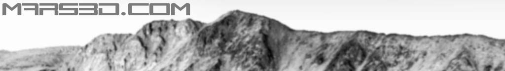
animations on this page were captured in realtime using
Mars Explorer and the HiRISE data. There is no vertical
exageration. The maximum view distance is approximately
5km beyond which the terrain is fogged out. Surface
curvature has not been taken into account because at
5km the drop due to curvature is only about 4 meters.
The spatial resolution of the elevation data is 1 meter.
The spatial resolution of the image data is, unless
otherwise stated, .25 meters.
Data
credit: NASA/JPL/University of Arizona
|